
Remote Sensing by UAV
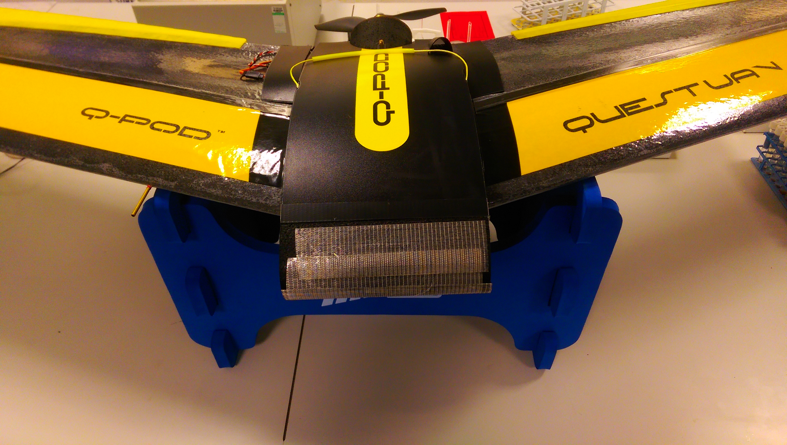
Quest UAV Q-Pod Q200
Our Q-200 UAV is set up for aerial photography and remote sensing using computer controlled flight pathing.
From an altitude of 400 feet, it produces high definition imagery of the mapped area loaded into the flight plan, that can be used for exercises such as monitoring vegetation growth patterns, and other environmental changes.